
Geospatial platform
Rajbhumi WebGIS
Geospatial information, brought together in one platform.
← All deployments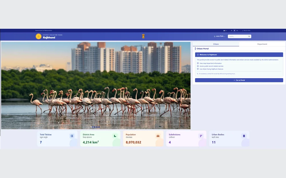 Product interface
The platform
Made for the
work at hand.
A citizen-centric WebGIS platform for Thane District, bringing public land-related information, spatial layers and location intelligence into a browser-based map interface.
Visit Rajbhumi WebGIS (opens a new tab) ↗Connected workflows.
- Interactive multilayer maps
- Public land-information access
- Spatial information workflows
- Browser-based citizen services
This overview describes the platform’s purpose and workflows. It does not imply a measured performance result or a commitment to the same scope for another project.